GIS & Cartography
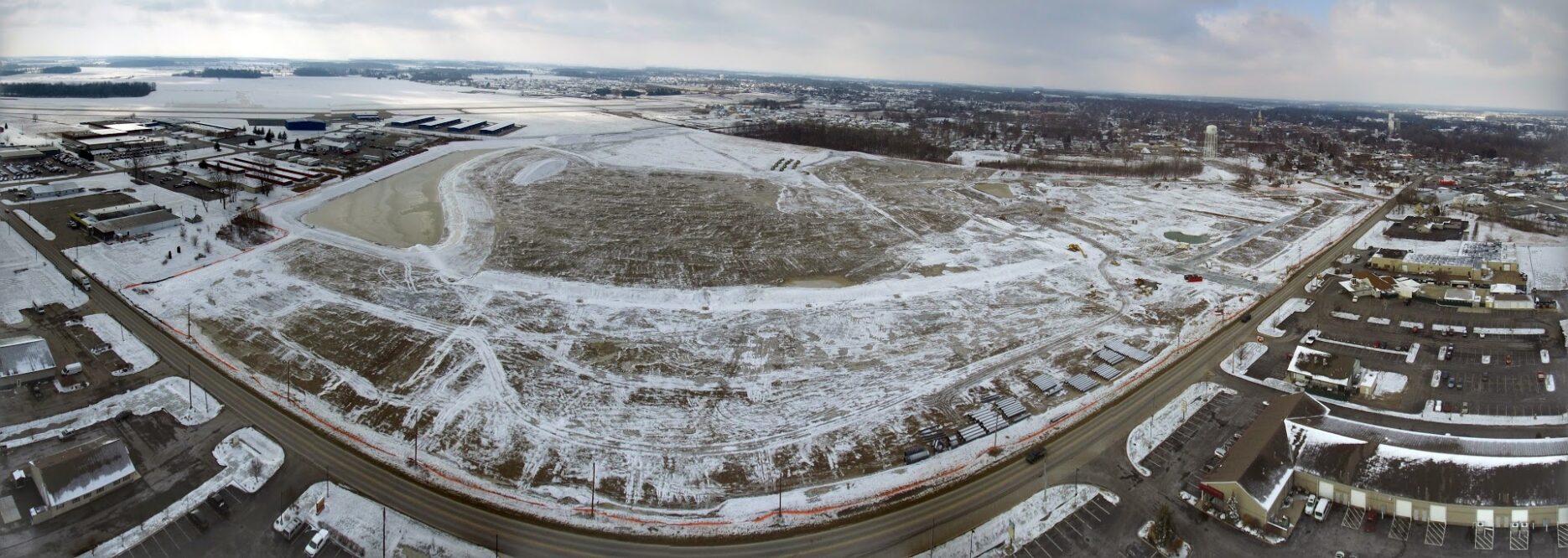
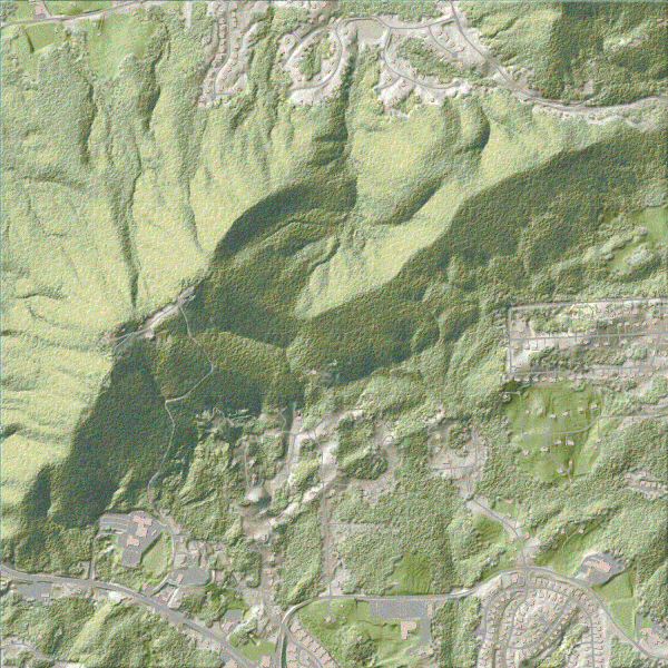
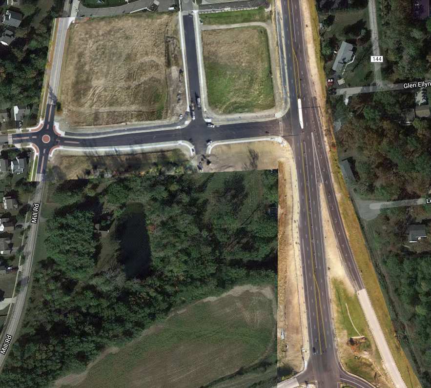
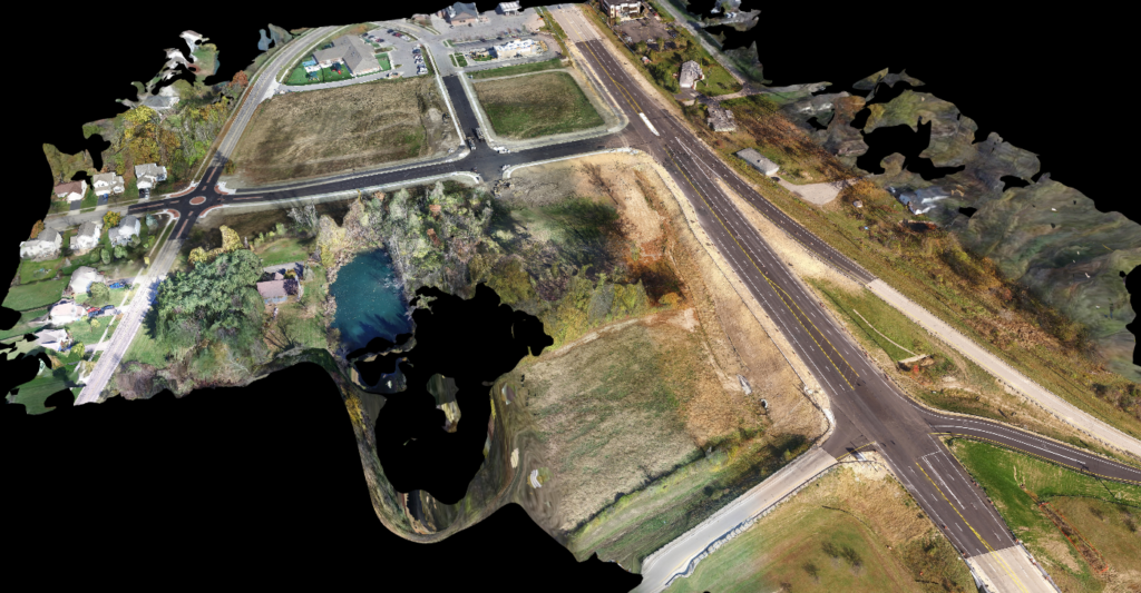
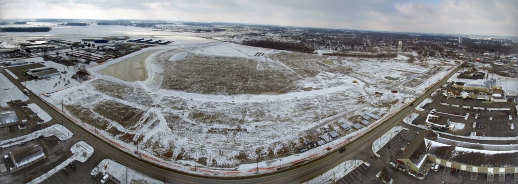
Aerial Photography & 3D Modelling
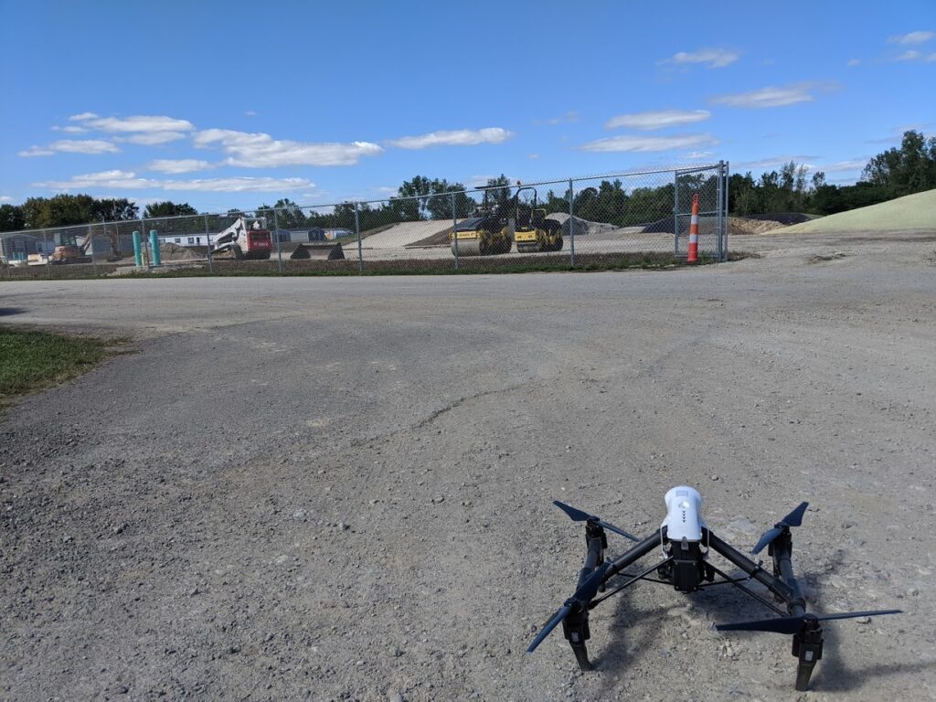
FAA Certified Remote (Drone) Pilot
Enterprise Data Management
PostgreSQL, SQL Server, ArcGIS Server, ArcGIS Online, FME, Python
- Marysville Open Data
- Web Applications
Strategic Approach
Special Projects from Analog to Digital
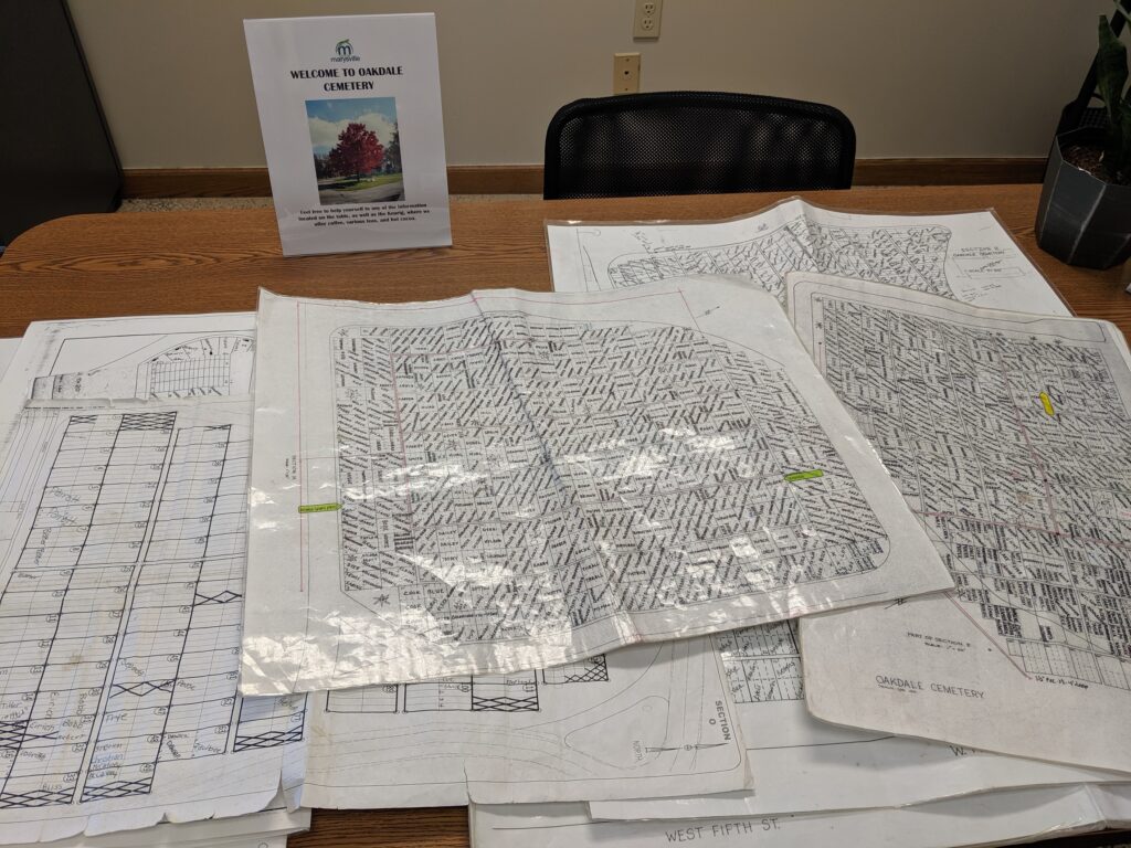
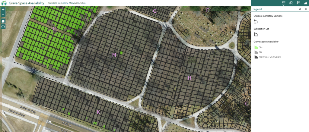
Converting paper processes digital management. Maps of a historic cemetery were digitized, georeferenced, and a database populated to power an application for residents to view available plots and find loved ones.
