Metro Atlanta Smart Cities Workshop
Georgia Municipal Association, Sandy Springs, Georgia, December 7, 2018
“Sandy Springs hosted GMA’s “Smart Solutions Workshop: Technology & Innovation in Metro Atlanta Cities” on December 7, 2018. Workshop participants heard how eight Metro Atlanta cities are utilizing technology solutions to make better informed decisions, provide increased transparency to city operations, and to make city operations more efficient and effective. The workshop ended with a panel discussion on how four metro-Atlanta cities evaluate and prioritize technology and innovation initiatives.” Georgia Municipal Association
Full Presentation (PDF 4 MB) my slides start page 10.
Central Ohio GIS Users Group
GIS Conference 2019
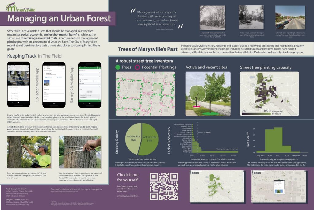
Urban Forestry at Marysville, co-authored with Urban Forester, Andy Evans.

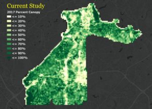
Urban Tree Canopy Study
Sandy Springs City Council, Sandy Springs, Georgia. December 18, 2018. Public presentation to to elected officials on urban tree canopy analysis for Sandy Springs, Georgia including statistical analysis and accuracy assessment.

Urban Tree Canopy Study – 2019 (PDF 5MB)
GIS in the Emergency Operations Centers for City Government
Winner, Exemplary Systems in Government Award – 2017.
Urban and Regional Information Systems Association (URISA)
“The Emergency Operations Center (EOC) is the primary hub of planning, deployment response, and
information management during an emergency event. In late 2016 through early 2017, the City of Sandy
Springs developed an agile mapping system for tracking real-time data during storm events. The GIS map
hosted through ArcGIS Online was a centrally managed communication tool to facilitate dispatch of snow and
salt operations and field crews to clear incidents such as fallen trees.” Application and Full Program Details:
GIS Pro, Jacksonville, Florida, October 24, 2017
Extract Translate Load – Permit Data to ArcGIS Online
Sidewalk Gap Analysis
Atlanta Regional Commission, December 8, 2016.
Realism in Cartography
Maptime, Atlanta. December 16, 2015.
Mapping Dialysis Transportation in Dayton, Ohio.
Ohio GIS Conference 2013. Dublin, Ohio.